 Tweet
Tweet
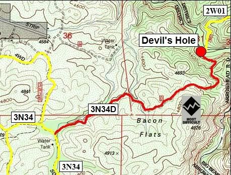
3N34D Devil's Hole
Length: 2 miles
Trail rating: Black diamond most difficult - Street legal vehicles and green sticker vehicles allowed.
Elevation: 4200' to 4750'
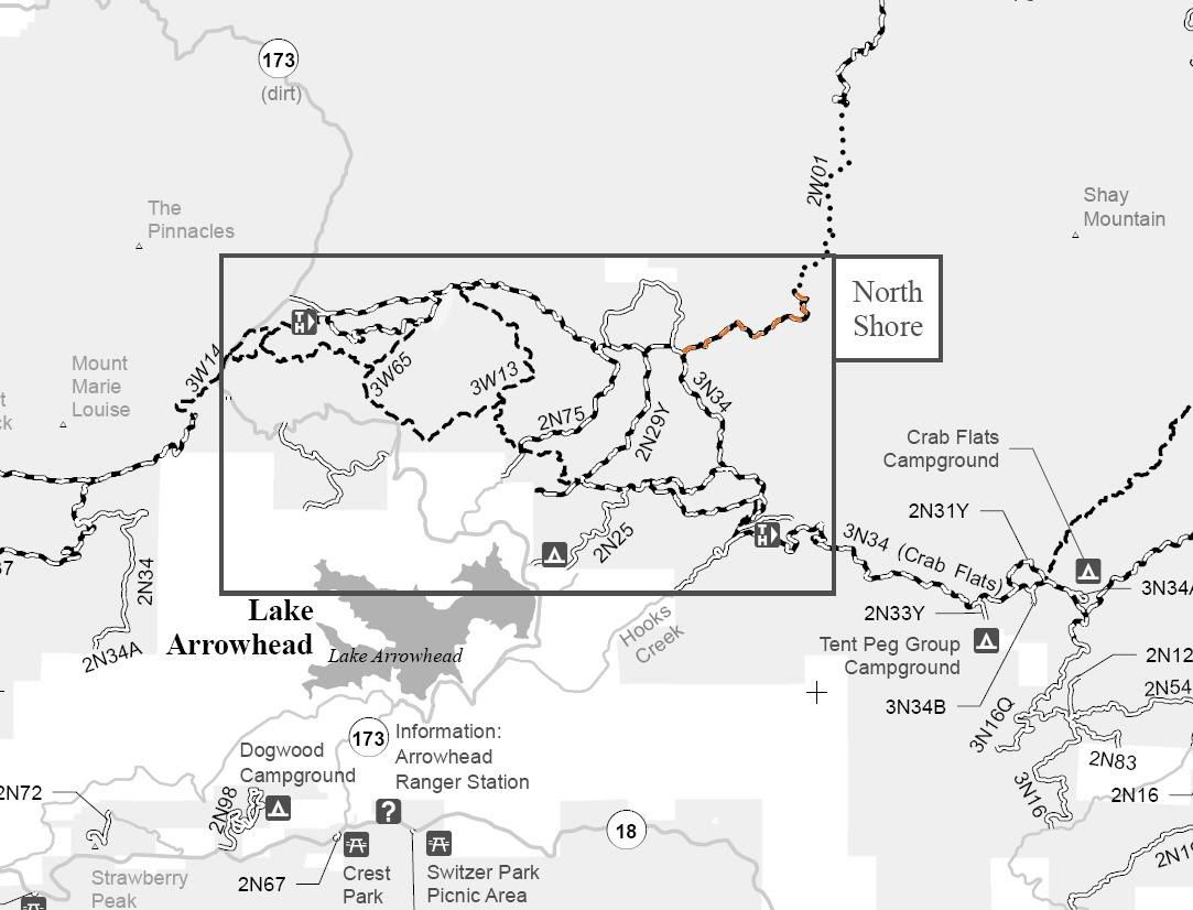
Entrance on 3N34 at N34� 17.594 W117� 08.724
Lat/Lon format is hddd� mm.mmm WGS84 datum
It is always a good idea to call the ranger station before heading in to the forest and get a current conditions report. Arrowhead Ranger Station (909) 382-2782
SBNF Motor Vehicle Use Map (MVUM)
SBNF Google Earth file
3N34D Track.gpx
3N34D Waypoints.gpx