 Tweet
Tweet
http://www.fs.usda.gov/Internet/FSE_...rdb5202570.pdf
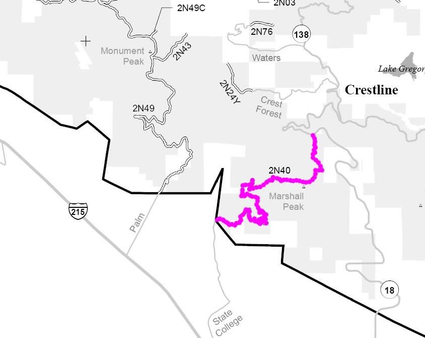
2N40 Cloudland
Length: 6.5 miles
Trail Rating: Green Circle Easiest
Street legal vehicles ONLY
Elevation: 1900’ to 3650’
North entrance on Hwy 18 at
N33° 13.482 W117° 17.983
South entrance on Badger Canyon Rd at
N33° 12.050 W117° 19.851
Lat/Lon format is hddd° mm.mmm
WGS84 datum
It is always a good idea to call the ranger station before heading in to the forest and get a current conditions report. Arrowhead Ranger Station (909) 382-2782
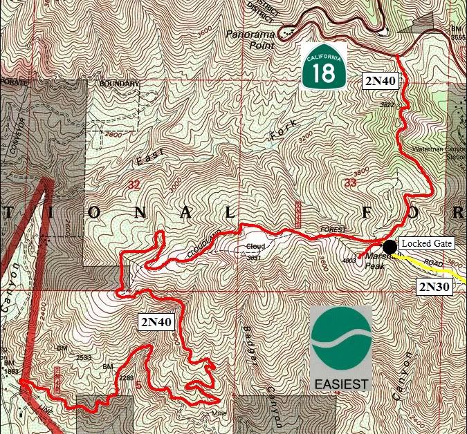
Comment