 Tweet
Tweet
http://www.fs.usda.gov/Internet/FSE_...rdb5202572.pdf
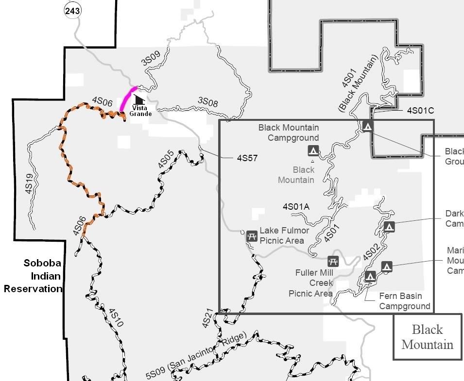
4S06 Indian Creek
Length: 7 miles
Trail Rating: Green Circle Easiest - Street legal vehicles and green sticker vehicles allowed
Elevation: 3150’ to 5000’
Street legal vehicle North entrance on Hwy 243 at N33° 50.321 W116° 48.612
Green sticker vehicle North entrance on Poppet Flat Divide at N33° 50.420 W116° 49.310
South entrance on 4S10 at N33° 48.171 W116° 50.165
Lat/Lon format is hddd° mm.mmm WGS84 datum
It is always a good idea to call the ranger station before heading in to the forest and get a current conditions report. Idyllwild Ranger Station (909) 382-2921
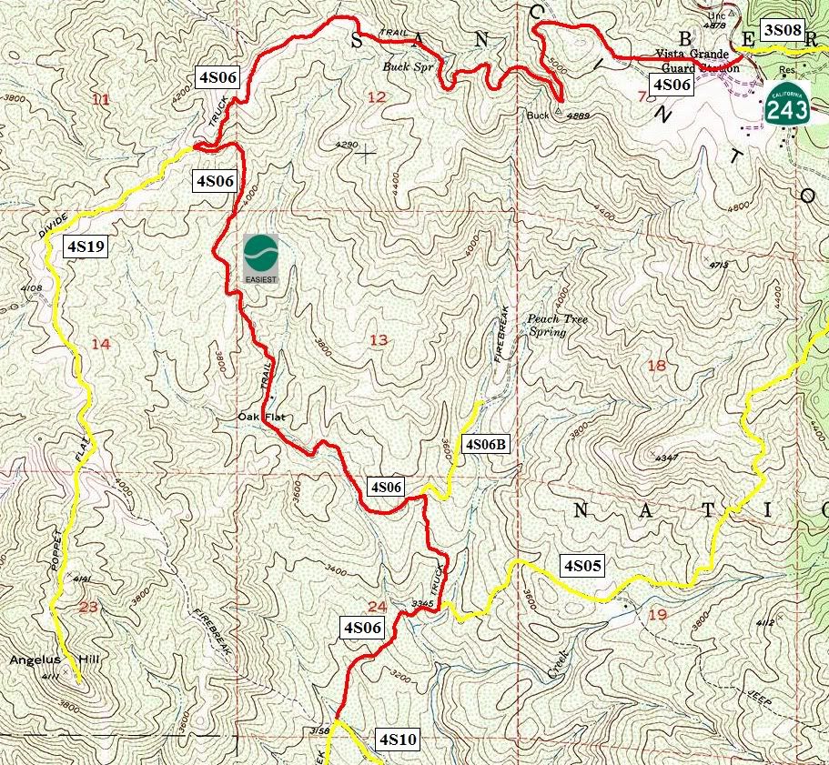